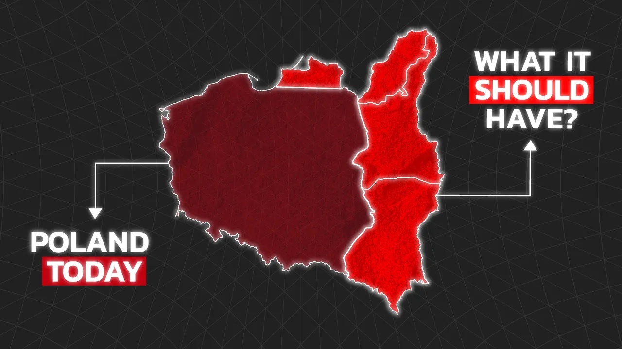
Poland's Borders Are Wrong
 General Knowledge
Sep 11, 2026 17:00
Create an account to hide videos, mark them watched, or save them to Don't Miss.
Create an account to hide videos, mark them watched, or save them to Don't Miss.
Create an account to hide videos, mark them watched, or save them to Don't Miss.
Chapters
Use COUPON CODE GK51 for 51% OFF Any Yearly Membership to World Anvil: https://worldanvil.com/?c=GK
When you look at statistical maps of Poland today, you're likely to notice a 'Phantom Border' where its old borders used to be. This is because modern maps show a completely different Poland than the one that dominated European history for centuries. In 1945, the Soviet Union & the Allies picked up the entire nation of Poland and shifted it over 200 kilometers to the west. This roughly matched the territory of its original medieval kingdom, but also lost about half of its pre-war homeland (including cultural capitals like Lwów and Wilno) to the USSR. Today, the scars of the Kresy borderlands, the unresolved tension around Russia's Kaliningrad military exclave, and dormant irredentist claims on Vilnius and Western Ukraine reveal why many believe Poland's current borders are wrong.
TIMESTAMPS:
Stay up to date on more content from me:
🎶 Tiktok: https://www.tiktok.com/@generalknowledge.pt
🖼️ Instagram: https://www.instagram.com/genknowledge/
▶ Join the Discord Server: https://discord.com/invite/f4neAVWZfF
▶ Business Contact: [email protected]
#GeneralKnowledge
Education
#poland
#polish borders
#why poland was moved west
#poland borders history
#kresy
#polish lithuanian commonwealth
#lwow polish history
#vilnius poland claim
#kaliningrad border
#poland irredentism
#stalin poland border 1945
#curzon line
#recovered territories poland
#intermarium
#general knowledge poland
#geopolitics europe
#eastern europe borders
#world war 2 borders
#order-neisse line
#poland should be bigger
#poland border disputes
#poland belarus border
#belarus
#lithuania