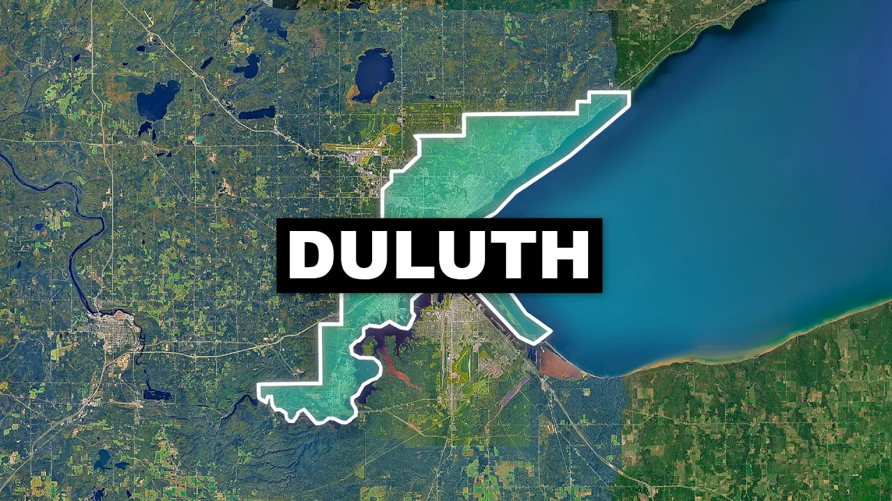
Why Duluth Is Drastically Changing
 imperatur
Apr 13, 2026 14:00
Create an account to hide videos, mark them watched, or save them to Don't Miss.
Create an account to hide videos, mark them watched, or save them to Don't Miss.
Create an account to hide videos, mark them watched, or save them to Don't Miss.
In this educational video, we take a look at Duluth's (Minnesota) City Layout, and I explain to you the unique urban structure of one of America’s most fascinating Rust Belt cities. Located on Lake Superior, Duluth is the largest freshwater port in North America and a city shaped by industry, geography, and reinvention.
Today, we explore how Duluth balances its industrial harbor—home to massive ore docks and grain silos, which are way past their prime—with a scenic waterfront. We also dive into the story of I-35 and how a freeway revolt transformed it into a cool-looking park-covered corridor reconnecting the city to the lake.
Finally, we take a look at Duluth’s steep, “San Francisco of the North” landscape, its half-abandoned skywalk system, and how the city is evolving from an industrial powerhouse into a modern outdoor-focused destination.
Is Duluth a hidden gem worth visiting, or a city past its prime? Watch to find out.
#Duluth #RustBelt #UrbanPlanning #Geography #CityDesign #LakeSuperior #USA #Infrastructure #CitiesSkylines #Travel
Support me on Patreon:
patreon.com/imperatur
Music by:
epidemicsound.com
Stockfootage:
storyblocks.com
All used footage is marked with the owner's name. Please contact me for removal requests - [email protected]
Science & Technology