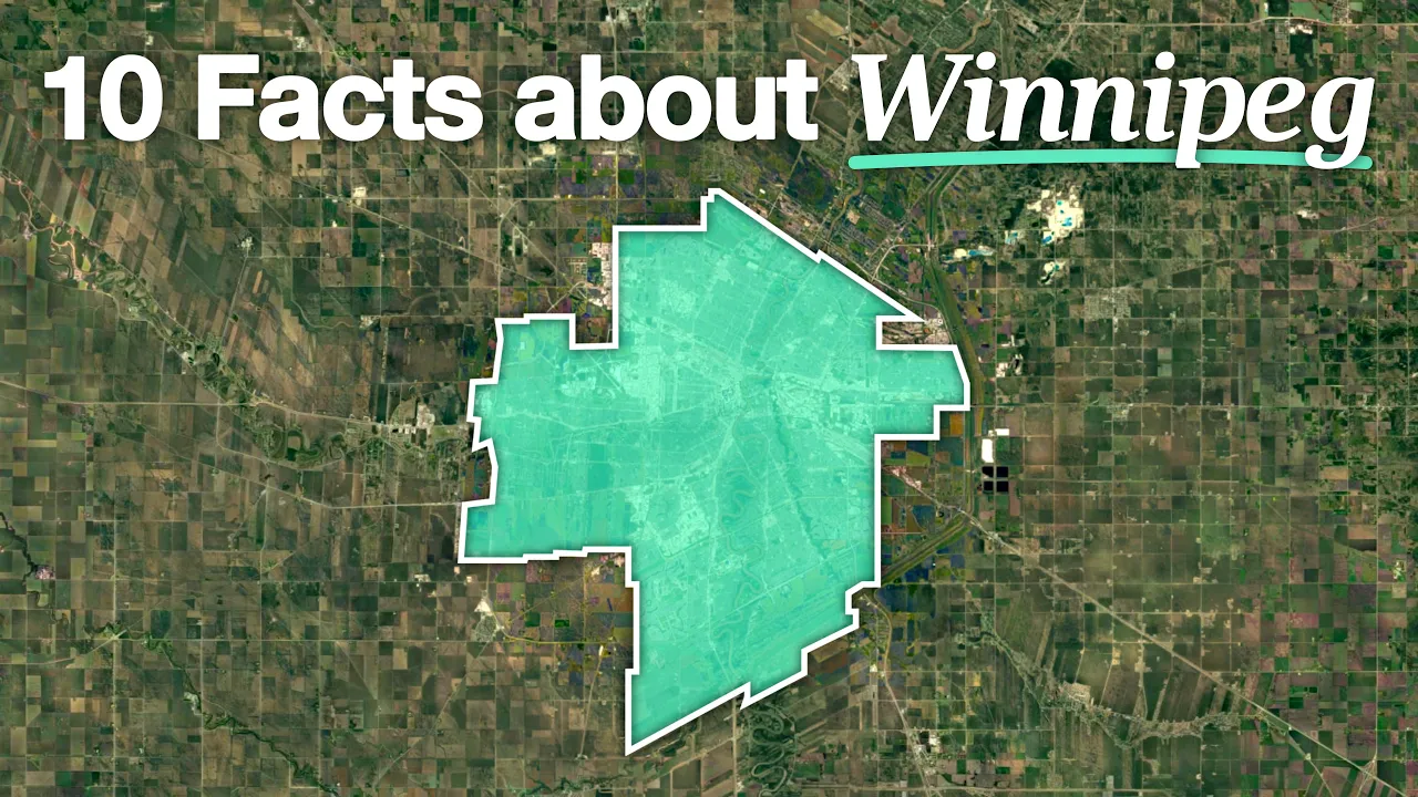
10 Weird Facts About Canada's Railroad Mega-Hub In The Middle Of Nowhere
 imperatur
Sep 15, 2026 12:00
Create an account to hide videos, mark them watched, or save them to Don't Miss.
Create an account to hide videos, mark them watched, or save them to Don't Miss.
Create an account to hide videos, mark them watched, or save them to Don't Miss.
A video for city, transit, and infrastructure enthusiasts!
Hey, I'm Daniel, and I love investigating cities and infrastructure all around the world with a bit of dry German humor!
This time, I'll show you 10 Things You Didn't Know about Winnipeg, Manitoba in Canada
1. Why Winnipeg developed here — The Red and Assiniboine rivers meet at The Forks, making it an important gathering and trading location long before the modern city.
2. The muddy water and the name — Why the rivers look brown, where “Winnipeg” comes from, and the difference between the city, Lake Winnipeg and the Winnipeg River.
3. The suspiciously straight channel — The Red River Floodway diverts floodwater around the city.
The enormous railway yards — CN’s Symington Yard, CPKC’s yards, and 4. Winnipeg’s role as a freight hub.
The main roads follow older routes — How Portage Avenue, Main Street, 5. Pembina Highway and St. Mary’s Road became the city’s main arteries.
6. Why the street grid changes direction — Older river lots, river bends and existing routes helped shape the different grids.
7. The long blocks and back alleys — How residential blocks are arranged, with houses facing the streets and service lanes running behind them.
8. Getting around Winnipeg — Cars, buses, the Southwest Transitway and plans to expand rapid transit.
9. The unusual ring road — Why the Perimeter Highway mixes freeway interchanges with ordinary intersections and traffic lights.
10. The rivers become skating trails — How the frozen Red and Assiniboine rivers become winter routes for skating, walking and skiing.
#winnipeg #manitoba #canada
Support me on Patreon:
patreon.com/imperatur
Stockfootage:
storyblocks.com
All used footage is marked with the owner's name.
Please contact me with any issues - [email protected]
Science & Technology