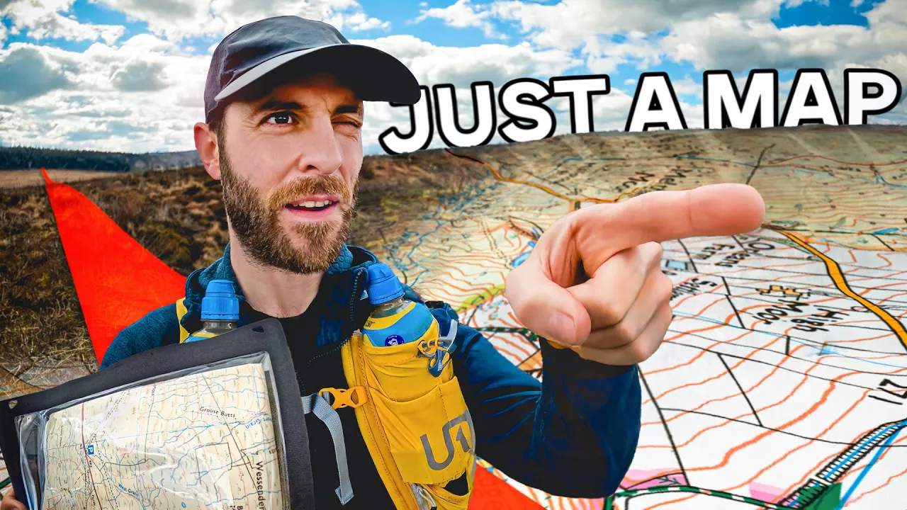
How straight can I walk with just a map? I cross the Pennines to find out.
 GeoWizard
Apr 2, 2025 18:47
Create an account to hide videos, mark them watched, or save them to Don't Miss.
Create an account to hide videos, mark them watched, or save them to Don't Miss.
Create an account to hide videos, mark them watched, or save them to Don't Miss.
For my 9th straight line mission, I've gone old school. Instead of a GPS system I'll be following nothing but an Ordnance survey map. I won't even be using a compass (because I forgot it).
The task is to cross the spine of England; the Pennines, starting from Meltham, Yorkshire in the East and ending 6.5 miles away in Upper Mill, Greater Manchester. On the way I'll traverse farmland, mountains and ravines and a whole load of barren, featureless moorland. The question is, will I be able to stay anywhere near the line in these places, using only the information on my map?
Travel & Events
#no map
#just a map
#geowizard just a map
#no gps
#straight line
#straight line mission
#england
#uk
#britain
#british
#english
#pennines
#how straight
#os map
#ordnance survey
#ordnance
#survey
#os
#map
#ordnance survey map
#os maps
#just an os map
#only a map
#map only
#physical map
#no garmin
#across
#mountains
#farmland
#contours
#tom
#tom davies
#geowizzard
#adventure
#geography